Types of Satellites Explained: LEO, MEO, GEO, and Beyond
Types of Satellites Explained: LEO, MEO, GEO, and Beyond
When we think of satellites, we often picture a single type of metal machine floating in the dark void of space. In reality, Earth's orbit is incredibly diverse, busy, and organized.
Depending on what job they are built to do, satellites are launched into specific orbital highways. Let's break down the different types of satellites by where they fly (their orbits) and what they do (their functions).
Part 1: Classification by Orbit (The "Where")
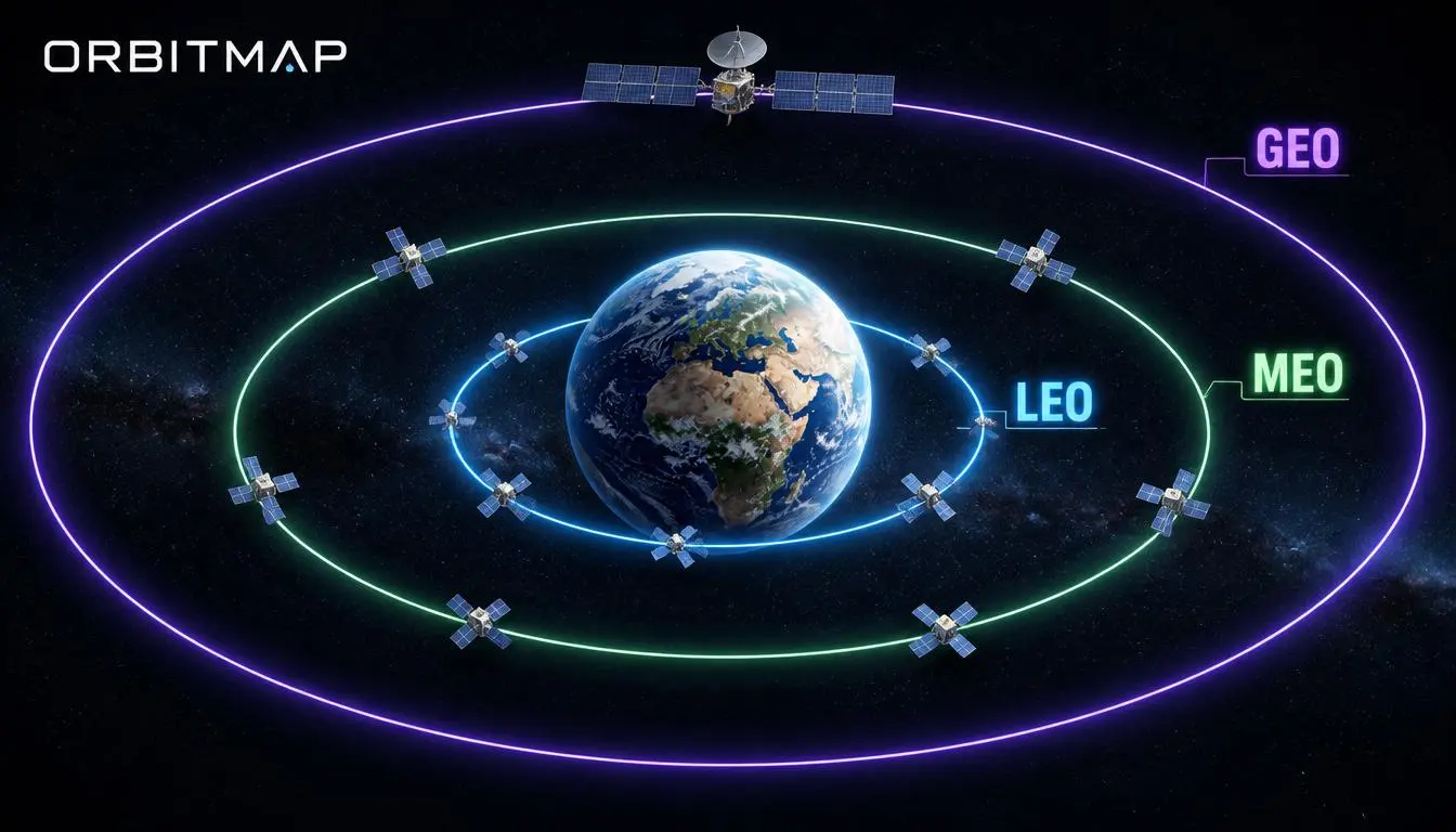
The altitude (distance from Earth) of a satellite completely changes its capabilities, speed, and coverage area. There are three main orbital zones:
| Orbit Type | Altitude Range | Speed / Orbit Time | Main Strengths |
|---|---|---|---|
| LEO (Low Earth Orbit) | 160 – 2,000 km | Fast (90–120 mins) | Low delay (latency), high-res imaging |
| MEO (Medium Earth Orbit) | 2,000 – 35,786 km | Moderate (2–12 hours) | Great coverage, highly accurate timing |
| GEO (Geostationary Orbit) | Exactly 35,786 km | Slow (Matches Earth's 24h rotation) | Stays fixed in one spot, wide coverage |
1. Low Earth Orbit (LEO) Satellites
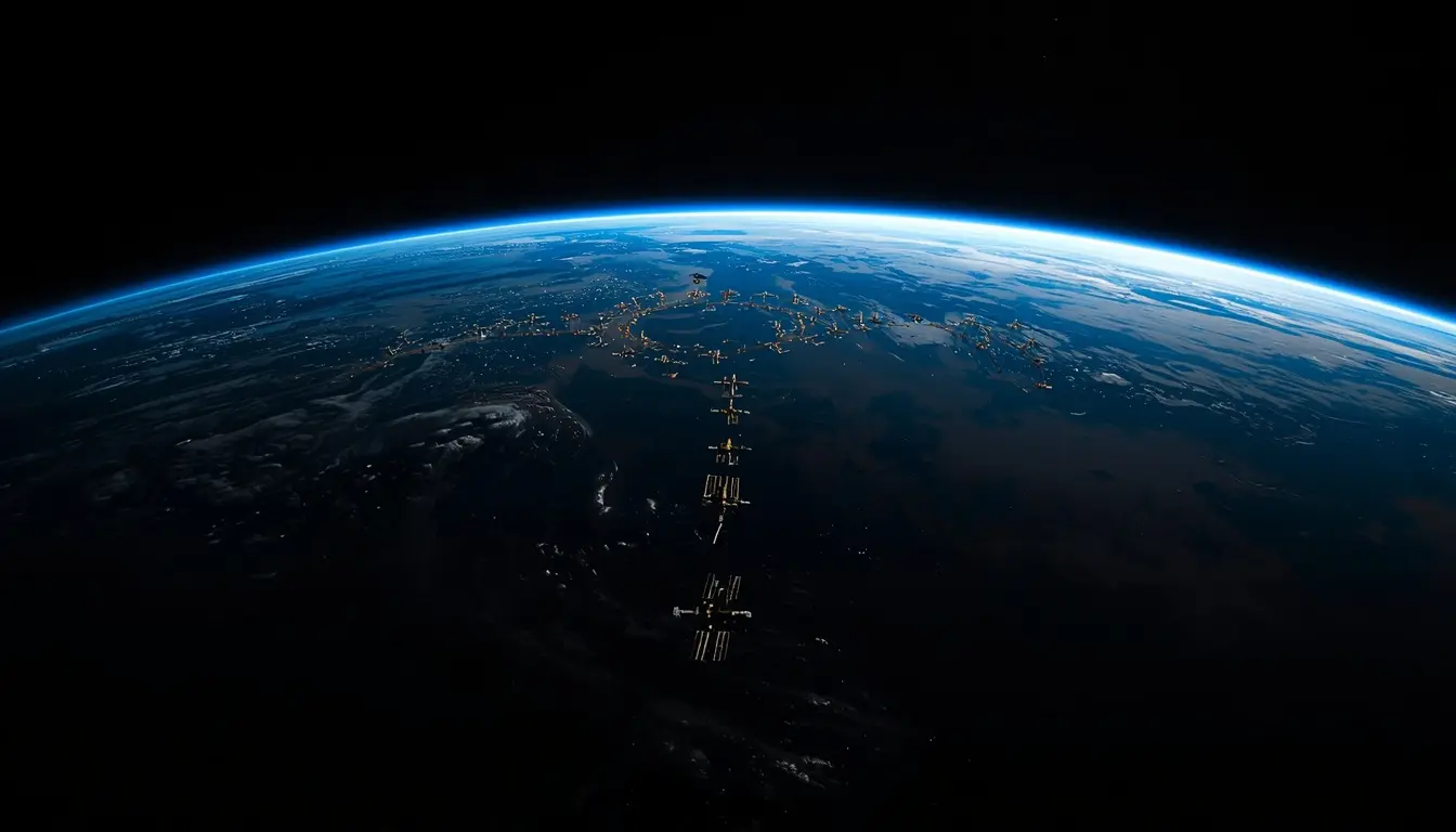
These are the speed demons of space. Flying relatively close to the planet, LEO satellites must travel at roughly 17,500 mph (28,000 km/h) to keep from falling back to Earth.

- The Advantage: Because they are close, signals travel to them almost instantly (ultra-low latency), and cameras can capture incredibly detailed photos.
- The Catch: One LEO satellite can only see a tiny portion of Earth at a time and passes overhead in just minutes.
- Examples: The International Space Station (ISS) and broadband constellations like Starlink and OneWeb (which use thousands of tiny LEO satellites working together to blanket the globe).
2. Medium Earth Orbit (MEO) Satellites
Occupying the middle ground, MEO satellites offer a perfect compromise between LEO and GEO.
- The Advantage: They cover larger areas than LEOs, meaning you need fewer satellites to cover the planet.
- Examples: The most famous MEO system is the Global Positioning System (GPS) constellation. A fleet of about 24–31 satellites orbiting at around 20,200 km ensures that at least 4 satellites are visible from almost any spot on Earth at any time.
3. Geostationary Orbit (GEO) Satellites
GEO satellites orbit exactly above Earth's equator at a precise altitude of 35,786 km. At this specific distance, their orbital speed perfectly matches the rotation of the Earth.
- The Advantage: They appear to "hover" completely motionless over a single spot on the ground. A satellite dish pointed at a GEO satellite never has to move. Just three GEO satellites can cover almost the entire planet!
- The Catch: High altitude means long signal travel times (noticeable latency).
- Examples: Direct-to-home TV satellites, satellite radio, and regional weather tracking platforms.
Part 2: Classification by Function (The "What")
No matter where they orbit, satellites are built for highly specialized missions:
📡 Communication Satellites
The heavy lifters of global data. They acts as giant mirrors in the sky, receiving signals from one side of the planet and bouncing them down to the other. They power satellite TV, global telephone networks, and maritime/aviation internet.
🗺️ Navigation Satellites
These form the backbone of modern transit. Systems like GPS (US), Galileo (EU), and GLONASS (Russia) broadcast incredibly precise time signals. Your smartphone receives these signals to calculate your exact position on the map down to a few meters.
🌤️ Weather & Environmental Satellites
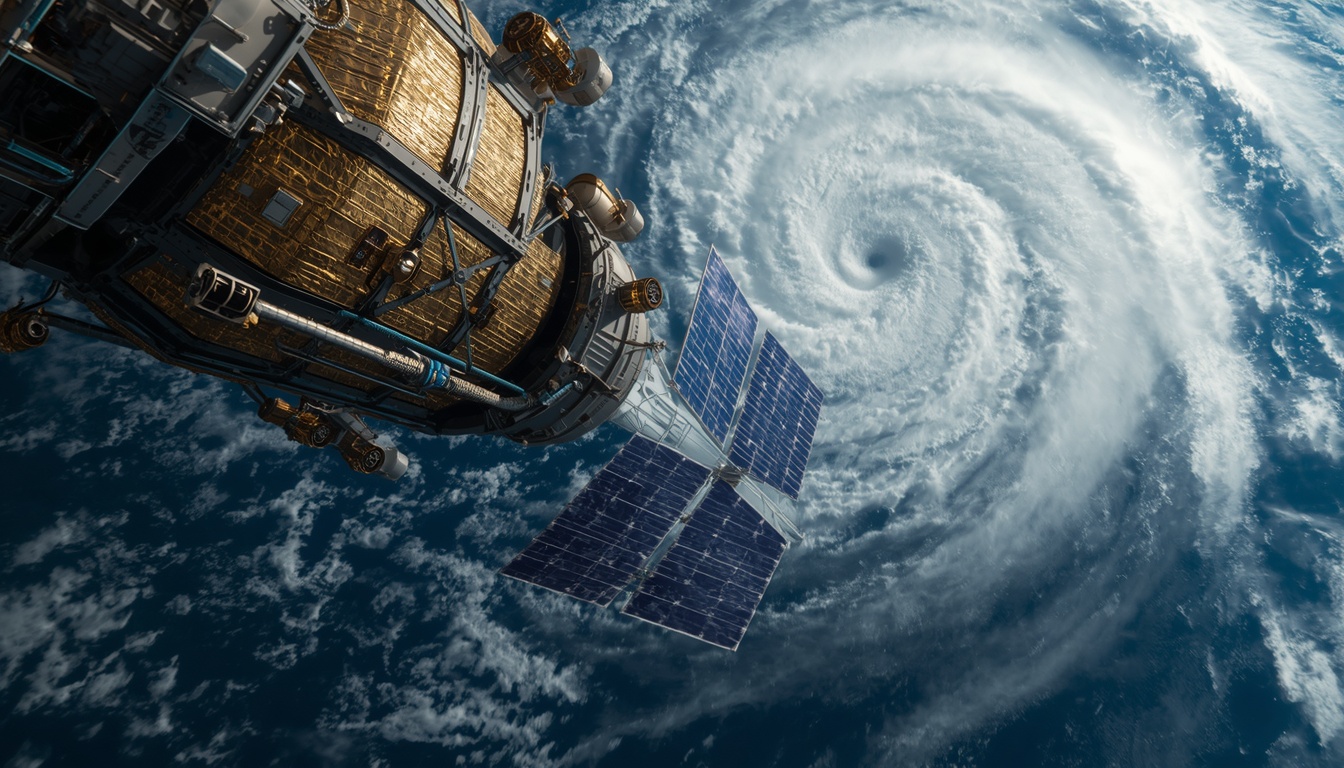
These keep a constant watch on Earth's climate. By taking images in infrared and visible light, they track hurricanes, monitor ocean temperatures, measure polar ice melt, and trace wildfires in real-time.
🌍 Earth Observation & Remote Sensing
Unlike weather satellites, Earth observation satellites focus on capturing ultra-high-resolution imagery of the ground. They are used for mapping, precision agriculture (analyzing crop health), detecting illegal logging, and disaster response.
Conclusion: Working in Harmony
No single orbit or type of satellite is "the best." Instead, modern technology relies on a massive, synchronized orchestra. While a GEO satellite monitors a developing storm system, a LEO satellite maps the streets below, and an MEO satellite guides you safely to your destination.
Together, they form an invisible network keeping us safe, connected, and informed.
See it live, right now
Launch the interactive 3D tracker and watch real satellites orbit Earth in real time.
Launch the Tracker →